Niagara Falls: Survivor of the Ice Age
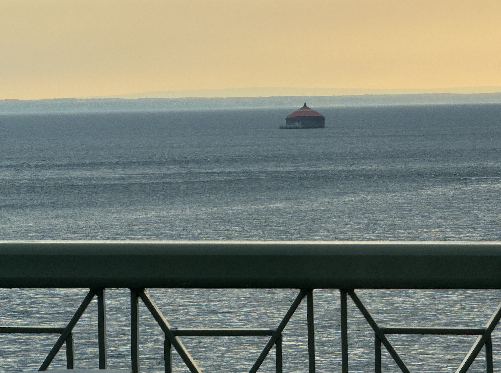
The source of the Niagara River, where Lake Erie feeds it, from the Peace Bridge.
Experience the Power Behind the Falls
Most visitors come for the roar and mist — but Niagara’s story began in ice, not water.
At Go Niagara Tours, we help you see the Falls not just as a view, but as the end of a journey that started more than 20,000 years ago, when glaciers ruled this land.
The Ice That Made Niagara
At the height of the last Ice Age, about 21,000 years ago, a massive glacier — part of the Laurentide Ice Sheet, known here as the Wisconsin Glaciation — covered this region beneath nearly two miles of ice.
It scraped the land bare, crushed stone into gravel, and sculpted the Great Lakes.
As the world warmed, the ice melted and retreated north, leaving behind ridges of rocky debris called moraines.
A moraine forms as a glacier moves across the land, gathering stones, sand, and soil. When the ice melts, that unsorted debris drops in place, building ridges and rolling hills that still shape the Niagara landscape today.
Drive across Western New York and you’ll trace those ancient footprints.
The Onondaga Escarpment, the rock ledge the Falls plunge over, is a bedrock ridge revealed and shaped by the glacier.
To the north, the Oak Ridges Moraine in Ontario shows how far that wall of ice once stretched.
These features are nature’s memory — the land itself remembering every pause and retreat of the ice.

The Oak Ridges Moraine.
💧 The Birth of the Niagara River
As the ice melted, meltwater filled vast inland seas — what became Lakes Erie and Ontario. Between them, a new waterway formed: the Niagara River, a short but mighty connection carrying the outflow of four Great Lakes — Superior, Michigan, Huron, and Erie — into Lake Ontario.
The river runs about 32 miles (51 km) from Buffalo to Lake Ontario.
It splits around Grand Island, widens into the Chippewa-Grass Island Pool, and then races toward the Niagara Escarpment, where it plunges to form the Falls.
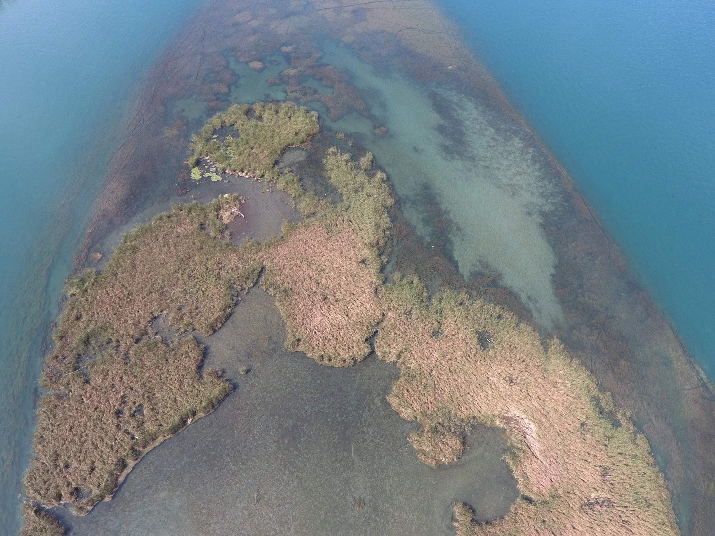
The now protected ecosystem of Grass Island, near Grand Island, NY, in the Niagara River.
🌊 The Moving Falls
The Falls we see today aren’t where they began. Roughly 12,000 years ago, the first Niagara Falls cascaded near Queenston-Lewiston, about seven miles downstream.
Over millennia, water eroded the softer rock beneath the capstone, carving out the Niagara Gorge and slowly moving the Falls upstream toward their present location.
Even today, despite modern engineering to slow erosion, the Falls continue to shift — a living, changing landscape shaped by time.
🏞️ A Living Landscape
Every cliff, ridge, and shoreline in this region tells the story of fire, ice, and renewal.
The fertile soil that nourishes Niagara’s vineyards, the shape of Grand Island, and even the rocks beneath your feet — all are gifts of the glacier.
When you visit, you’re not just seeing a waterfall.
You’re standing on the bones of an Ice Age — watching it breathe.
🌅 Plan Your Visit
Step beyond the mist and into the story.
Join a Go Niagara Tour to discover the ancient forces that created one of Earth’s greatest natural wonders.
From the glacial ridges to the roaring gorge, our guides bring Niagara’s deep past to life — showing you the Falls not just as they are, but as they’ve always been: alive.
📍 Book Your Adventure: GoNiagaraTours.com
📧 Email: info@goniagaratours.com
#GoNiagaraTours #NiagaraFallsHistory #ExploreNiagara #GlacialWonder #NiagaraFallsCanada #NiagaraFallsUSA #IceAgeNiagara

Niagara River at Queenston, Ontario, then known as Queenstown, Upper Canada, c. 1805 watercolour.